
Documented Medina ZIP Code Directory
Only two Medina postal labels are supported by the research, and they should not be treated the same way. The physical addresses of Medina City and County offices, the courthouse, Recorder, Auditor, and municipal airport document one label. The other appears in the City's airport mailing context. For either label, use USPS to confirm a particular street address before connecting it to a parcel or a records search.
| ZIP | Areas Covered | Post Office | Notes |
|---|---|---|---|
| 44256 | Documented physical Medina City and County offices, courthouse, Recorder, Auditor, and municipal airport | Medina postal context | Primary documented physical Medina address ZIP; it can extend beyond city boundaries. |
| 44258 | City airport P.O. Box context only | Medina postal context | Research does not establish citywide or physical-delivery coverage; verify a specific address with USPS. |
Both labels are associated with Medina in postal-office material, but neither row draws a delivery boundary or city map. A nearby place may share a postal area, and a City address can carry governmental fields that differ from its postal label. Note: Postal context is useful for address verification, not proof of city jurisdiction or an individual's presence.
Medina ZIP Code Directory Terms
Postal terms describe delivery handling, while property terms identify land. Keeping the words separate helps prevent a ZIP code directory search from turning into an unsupported boundary or resident claim. A full ZIP can help USPS standardize an address. The parcel number and legal description are what connect that address to county tax-map and Recorder work.
- ZIP versus ZIP+4
- A ZIP identifies a postal area. ZIP+4 adds a more specific delivery segment to the basic ZIP.
- PO-box ZIP
- A postal label used for post-office box service; it does not by itself establish street-delivery coverage.
- Unique ZIP
- A ZIP associated with one organization or delivery arrangement, which may not map like a standard delivery area.
- Carrier route
- A mail-delivery grouping used within a postal system, not a municipal district or parcel boundary.
These distinctions explain why a postal match should be followed by the Auditor's municipal, township, and parcel fields. They also explain why a map based on ZIP data cannot replace a Tax Map, a city-limit record, or a Recorder legal description.
Verify a Medina ZIP Code With USPS
The USPS ZIP Code Lookup is the first stop for an actual delivery address. Its address form captures an optional Company field plus Street Address, Apt/Suite, City, State, and ZIP. It also offers a city-and-state route and a ZIP-only route. The tool standardizes an address result. It does not show who lives there, establish an owner, or decide whether the address is inside Medina's municipal limits.
| USPS Search Field | How It Is Used |
|---|---|
| Street Address | Required address-form input. |
| Apt/Suite | Address-form input used when a unit detail is part of delivery. |
| City | Address-form input; required with State for city-and-state lookup. |
| State | Address-form select; required with City for city-and-state lookup. |
| ZIP | Address-form input; required for the ZIP-only lookup route. |
| Company | Optional on the address form. |
Enter the unit information when it is part of the address. A standardized response can catch a spelling, directional, or postal-label mismatch before a parcel search begins. It should not be stretched into an identity finding.
Medina ZIP Code Directory to Parcel Trail
A ZIP code narrows an address question, but the parcel trail supplies the land-record connection. Begin with USPS, then use the Medina County Auditor to find the property through address components, an owner name, or a parcel number. The Auditor connects the modern street location to the permanent parcel number, tax map, transfers, and property context. The next link is the Recorder, where the legal description can lead to a recorded instrument.
The documented sequence is: USPS-confirmed address to Auditor PPN, then Tax Map, then Recorder parcel, subdivision, lot, or block search. The Recorder does not offer an address search. Its AVA system is a working index, so compare party, parcel, legal-description, and date details rather than relying on one result. This is a land-record chain, not a ZIP-wide directory of occupants.
A source image from the City of Medina residents page gives local city and geographic context for the postal trail.
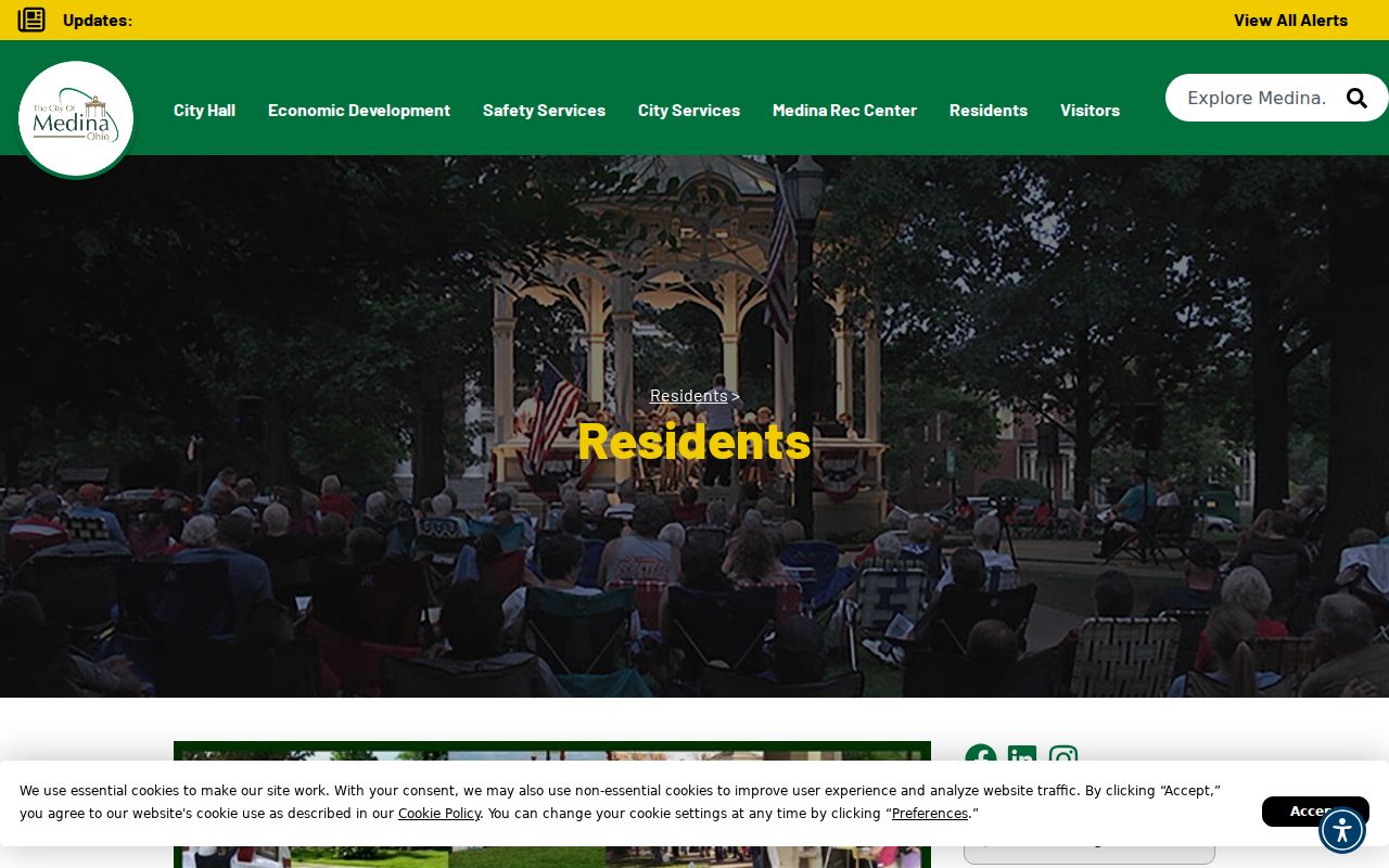
The City material helps place Medina within the county, while the exact address still needs USPS and parcel verification.
Medina ZIP Code Directory Limits
The Auditor's advanced property form has no ZIP field. It uses municipality, township, school district, tax district, and neighborhood selectors instead. That choice matters because Medina City, Medina Township, and nearby townships can appear in different governmental fields even when an address carries a Medina postal label. Use municipality and township to frame a property search, then enter the exact street components or parcel number.
The form's location selectors are not a substitute for a postal lookup. An address may have a postal city label that differs from a property-system municipal field. Preserve both values when a record trail crosses city, township, school-district, tax-district, and neighborhood data. That practice makes a boundary mismatch visible instead of hiding it inside a ZIP search.
- Situs address
- The physical property location used in parcel, permit, or mapping work.
- Mailing address
- The correspondence destination a property record may show separately for a deeded owner or tax payer.
- Legal description
- The lot, tract, subdivision, township, section, survey, acreage, or parcel formulation used to identify land in a recorded chain.
Find Records by Medina ZIP Code
No verified Medina property or voter portal offers a ZIP-wide resident search. Use a ZIP code to validate the address first, then move through the tools that are actually keyed to property or election geography. The Auditor searches address, owner, parcel, and municipal or neighborhood criteria. The County GIS is the address-to-PPN and map-layer bridge. Board of Elections reporting follows precinct, district, and street rather than postal code.
- Enter the full street address in USPS ZIP Code Lookup and retain the standardized postal result.
- Use the Auditor address components or the GIS parcel viewer to identify the PPN and situs address.
- Check the Tax Map and legal description, then use Recorder party, parcel, subdivision, lot, or block fields for recorded documents.
- For election geography, use the Board's address or street tools with street number, direction, street name, precinct, or district controls.
- When a street-level record chain is needed, continue with the Medina By Street directory rather than trying to expand a postal label into a list of residents.
This workflow keeps each source within its actual role. USPS verifies postal form, the Auditor and GIS identify the parcel, the Tax Map anchors land, and the Recorder follows recorded documents.
Medina ZIP Code Directory and Voter Geography
The Medina County voter lookup is a first-person name tool with required last and first name fields. It reports the limited registration, precinct, polling-place, and ballot details described by the Board. Its street and reporting tools serve a different task: they work with precinct, district, or street filters. Neither route uses ZIP as a way to create a postal-area roster.
The Street Report can produce PDF or CSV reporting with precinct, district, polling-location, and street controls. Its scope remains registered voters, with confidential and protected records excluded. An election result is not a property record, and a postal code should never be used to infer that every person in a ZIP appears in the election tools.
Note: Postal verification is a useful input before a street search, but precinct and district boundaries are the Board's own geographic framework.
Medina ZIP Code Boundary Limits
ZIP codes and Census ZIP Code Tabulation Areas are not municipal boundary systems. USPS delivery labels are built for mail handling. Census ZCTAs are generalized statistical approximations, and PO-box or unique ZIPs may not map as delivery ZIPs do. The City of Medina, its townships, tax districts, wards, school districts, neighborhoods, and Recorder legal descriptions all follow different lines.
A source image from the Census ZCTA guidance illustrates why the geography behind a postal label must be read with care.
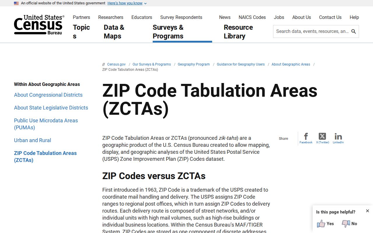
The Census guidance supports the distinction: a ZCTA is useful for broad statistical geography, while an official parcel or municipal field answers a local boundary question.
Medina postal context. ZIP 44256 is documented for physical Medina government and municipal addresses. ZIP 44258 is documented only through the airport P.O. Box context in this research, so no citywide delivery claim should be made without a USPS address result.
Historic Medina ZIP Code Context
Older records predate modern ZIP codes. Historical directories should be searched by the locality and street names printed in their own era, then compared with maps and legal descriptions. Medina's present Main Street was Plank Road on an 1849 map and then Shelby Street before it was renamed Main and renumbered in the late 1890s. That history is an archival lead, not a rule for current addressing.
When an older address does not line up with a modern postal result, test the earlier street name and preserve the lot, subdivision, or tract information. The verified 1911 Medina Sanborn set has eight sheets, and the local research also identifies 1874 and 1897 county atlases. These materials describe built and property geography, not people at an address.
Move from the older street wording to the parcel only after the map or legal-description evidence supports the match. A ZIP code cannot bridge a name change that happened before ZIP codes existed. Pair the historical street name with the modern address, parcel number, subdivision or lot, and the map date that supports the comparison. That approach keeps a useful history lead from becoming an unsupported claim about a current address.
Keep the postal label as the final confirmation step for the current address, not as a replacement for the historical map and land-record evidence.